קובץ:Fishermans Wharf aerial view.jpg

גודל התצוגה המקדימה הזאת: 800 × 534 פיקסלים. רזולוציות אחרות: 320 × 214 פיקסלים | 640 × 427 פיקסלים | 1,024 × 683 פיקסלים | 1,500 × 1,001 פיקסלים.
לקובץ המקורי (1,500 × 1,001 פיקסלים, גודל הקובץ: 639 ק"ב, סוג MIME: image/jpeg)
זהו קובץ שמקורו במיזם ויקישיתוף. תיאורו בדף תיאור הקובץ המקורי (בעברית) מוצג למטה
ויקישיתוף הוא מאגר תמונות וקובצי מדיה חופשיים. אתם יכולים לעזור. |
| תיאור |
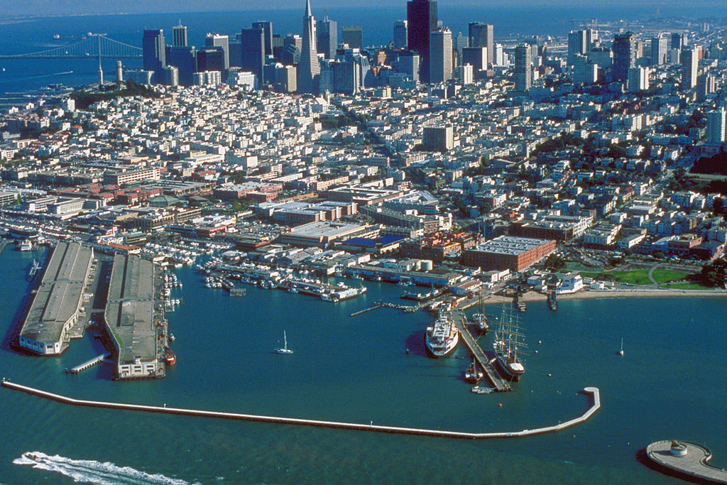
English: Aerial view of Fisherman's Wharf on San Francisco Bay on the north side of San Francisco, California, USA. View is to the southeast.
Coordinates: 37°48′35.83″N 122°25′11.27″W / 37.8099528°N 122.4197972°W |
|||
| מיקום | San Francisco, California, USA | |||
| תאריך יצירה | not specified or unknown | |||
| מקור |
U.S. Army Corps of Engineers Digital Visual Library Image page Image description page Digital Visual Library home page |
|||
| יוצר | U.S. Army Corps of Engineers, photographer not specified or unknown | |||
| אישורים והיתרים (שימוש חוזר בקובץ זה) |
|
היסטוריית הקובץ
ניתן ללחוץ על תאריך/שעה כדי לראות את הקובץ כפי שנראה באותו זמן.
| תאריך/שעה | תמונה ממוזערת | ממדים | משתמש | הערה | |
|---|---|---|---|---|---|
| נוכחית | 06:49, 4 במאי 2007 | | 1,001 × 1,500 (639 ק"ב) | DanMS | {{Information | Description = {{en|Aerial view of Fisherman's Wharf on San Francisco Bay on the north side of San Francisco, California, USA. View is to the southeast.}} Coordinates: {{Coor dms|37|48|35.83|N|122|25|11.27|W|type:city|display=inline}} | |
שימוש בקובץ
הדף הבא משתמש בקובץ הזה:
שימוש גלובלי בקובץ
אתרי הוויקי השונים הבאים משתמשים בקובץ זה:
- שימוש באתר ar.wikipedia.org
- שימוש באתר bg.wikipedia.org
- שימוש באתר de.wikipedia.org
- שימוש באתר de.wikivoyage.org
- שימוש באתר en.wikipedia.org
- שימוש באתר es.wikipedia.org
- שימוש באתר eu.wikipedia.org
- שימוש באתר fi.wikipedia.org
- שימוש באתר fr.wikipedia.org
- שימוש באתר hr.wikipedia.org
- שימוש באתר hy.wikipedia.org
- שימוש באתר it.wikinews.org
- שימוש באתר ja.wikipedia.org
- שימוש באתר no.wikipedia.org
- שימוש באתר pt.wikipedia.org
- שימוש באתר ru.wikipedia.org
- שימוש באתר sv.wikipedia.org
- שימוש באתר uk.wikipedia.org
- שימוש באתר vi.wikipedia.org
- שימוש באתר www.wikidata.org
- שימוש באתר zh.wikipedia.org