קובץ:Switzerland-map.png
גודל התצוגה המקדימה הזאת: 800 × 517 פיקסלים. רזולוציות אחרות: 320 × 207 פיקסלים | 640 × 413 פיקסלים | 1,024 × 661 פיקסלים | 1,280 × 827 פיקסלים | 2,453 × 1,584 פיקסלים.
לקובץ המקורי (2,453 × 1,584 פיקסלים, גודל הקובץ: 1.07 מ"ב, סוג MIME: image/png)
זהו קובץ שמקורו במיזם ויקישיתוף. תיאורו בדף תיאור הקובץ המקורי (בעברית) מוצג למטה
ויקישיתוף הוא מאגר תמונות וקובצי מדיה חופשיים. אתם יכולים לעזור. |
תקציר
| תיאור |
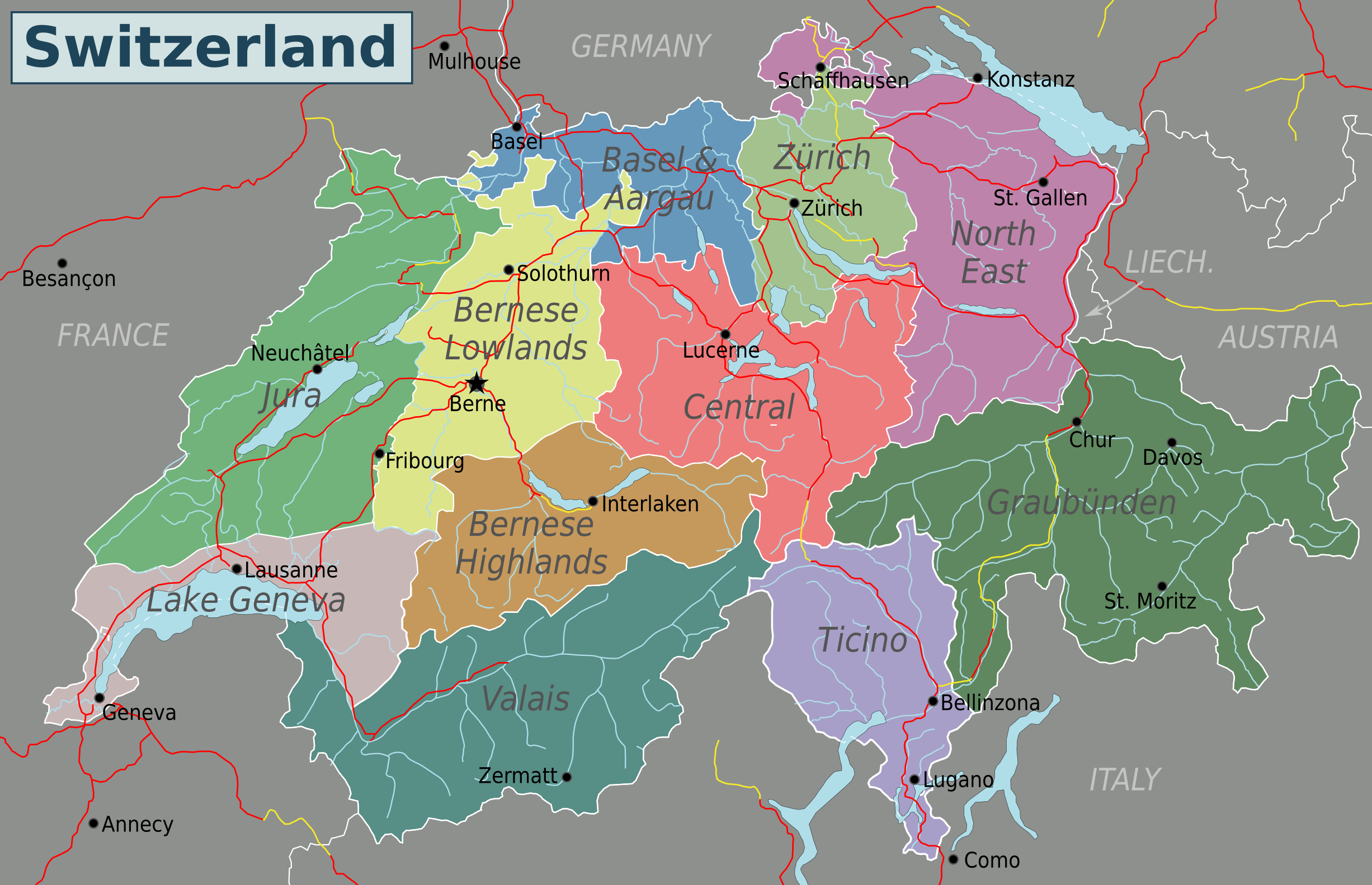
English: Map of Switzerland (PNG). Nota Bene: the regions displayed in this map are not official administrative divisions.
. Inkscape עם נוצרה ה PNG תמונת מפת סיביות |
| תאריך יצירה | |
| מקור | נוצר על־ידי מעלה היצירה based on Suisse cantons.svg by Pymouss44, Switzerland regions.svg by Stefan Ertmann and work by OpenStreetMap.org contributors. |
| יוצר | Globe-trotter |
| גרסאות אחרות | Inkscape SVG |
רישיון
הקובץ הזה מתפרסם לפי תנאי רישיון קריאייטיב קומונז ייחוס-שיתוף זהה 4.0 בין־לאומי.
- הנכם רשאים:
- לשתף – להעתיק, להפיץ ולהעביר את העבודה
- לערבב בין עבודות – להתאים את העבודה
- תחת התנאים הבאים:
- ייחוס – יש לתת ייחוס הולם, לתת קישור לרישיון, ולציין אם נעשו שינויים. אפשר לעשות את זה בכל צורה סבירה, אבל לא בשום צורה שמשתמע ממנה שמעניק הרישיון תומך בך או בשימוש שלך.
- שיתוף זהה – אם תיצרו רמיקס, תשנו, או תבנו על החומר, חובה עליכם להפיץ את התרומות שלך לפי תנאי רישיון זהה או תואם למקור.
היסטוריית הקובץ
ניתן ללחוץ על תאריך/שעה כדי לראות את הקובץ כפי שנראה באותו זמן.
| תאריך/שעה | תמונה ממוזערת | ממדים | משתמש | הערה | |
|---|---|---|---|---|---|
| נוכחית | 08:40, 4 במאי 2016 | | 1,584 × 2,453 (1.07 מ"ב) | Drat70 | Reverted to version as of 11:04, 16 May 2015 (UTC) as this file is also used by other pages |
| 08:38, 4 במאי 2016 |  | 1,590 × 2,462 (1.04 מ"ב) | Drat70 | Changed some of the regions as per discussion on the wikivoyage Switzerland talk page. | |
| 14:04, 16 במאי 2015 |  | 1,584 × 2,453 (1.07 מ"ב) | Globe-trotter | {{Information |description={{en|1=Map of Switzerland (PNG).}} {{Created with Inkscape|IMPORTANT=1}} |date=2015-05-16 |source={{own}} based on Suisse cantons.svg by Pymouss44, [[:File:Switzerland regions.s... |
שימוש בקובץ
אין דפים המשתמשים בקובץ זה.
שימוש גלובלי בקובץ
אתרי הוויקי השונים הבאים משתמשים בקובץ זה:
- שימוש באתר en.wikivoyage.org
- שימוש באתר fa.wikivoyage.org
- שימוש באתר hi.wikibooks.org