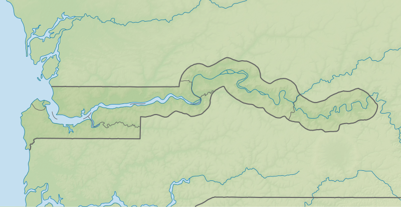
קובץ:Gambia rel location map.svg

גודל התצוגה המקדימה הזאת מסוג PNG של קובץ ה־SVG הזה: 800 × 412 פיקסלים. רזולוציות אחרות: 320 × 165 פיקסלים | 640 × 330 פיקסלים | 1,024 × 528 פיקסלים | 1,280 × 660 פיקסלים | 2,560 × 1,319 פיקסלים | 1,205 × 621 פיקסלים.
לקובץ המקורי (קובץ SVG, הגודל המקורי: 1,205 × 621 פיקסלים, גודל הקובץ: 367 ק"ב)
היסטוריית הקובץ
ניתן ללחוץ על תאריך/שעה כדי לראות את הקובץ כפי שנראה באותו זמן.
| תאריך/שעה | תמונה ממוזערת | ממדים | משתמש | הערה | |
|---|---|---|---|---|---|
| נוכחית | 21:38, 22 ביוני 2017 |  | 621 × 1,205 (367 ק"ב) | NordNordWest | == {{int:filedesc}} == {{Information |Description= {{de|1=Positionskarte von Gambia}} {{en|1=Location map of Gambia}} {{Location map series N |stretching=103 |top=14.3 |bottom=12.6 |left=-17.0 |right=-13.6 }} |Source={{Own using}} * United States Natio... |
שימוש בקובץ
הדף הבא משתמש בקובץ הזה:
שימוש גלובלי בקובץ
אתרי הוויקי השונים הבאים משתמשים בקובץ זה:
- שימוש באתר ar.wikipedia.org
- שימוש באתר ast.wikipedia.org
- שימוש באתר azb.wikipedia.org
- שימוש באתר az.wikipedia.org
- שימוש באתר be-tarask.wikipedia.org
- שימוש באתר be.wikipedia.org
- שימוש באתר bg.wikipedia.org
- שימוש באתר bn.wikipedia.org
- שימוש באתר bs.wikipedia.org
- שימוש באתר ceb.wikipedia.org
- שימוש באתר ckb.wikipedia.org
- שימוש באתר cs.wikipedia.org
- שימוש באתר da.wikipedia.org
- שימוש באתר de.wikipedia.org
- Gambia
- Kunta Kinteh Island
- St. Mary’s Island (Gambia)
- Baboon Islands
- Elephant Island (Gambia)
- Janjanbureh Island
- Bijol Islands
- Dog Island (Gambia)
- Kai Hai Islands
- Deer Island (Gambia)
- Pasari Island
- Bird Island (Gambia)
- Dankunku Island
- Sansankoto Island
- Brikama Island
- Miniang Island
- Pelican Island (Gambia)
- Pangon Island
- Sapu Island
- Welterbe in Gambia
- Vorlage:Positionskarte Gambia
- Jinack Island
- Pappa Island
- Little Pappa Island
- Njubou Island
- Ba Faraba Island
- Wikipedia:Kartenwerkstatt/Positionskarten/Afrika
- Sanyang Beach
צפייה בשימושים גלובליים נוספים של קובץ זה.


